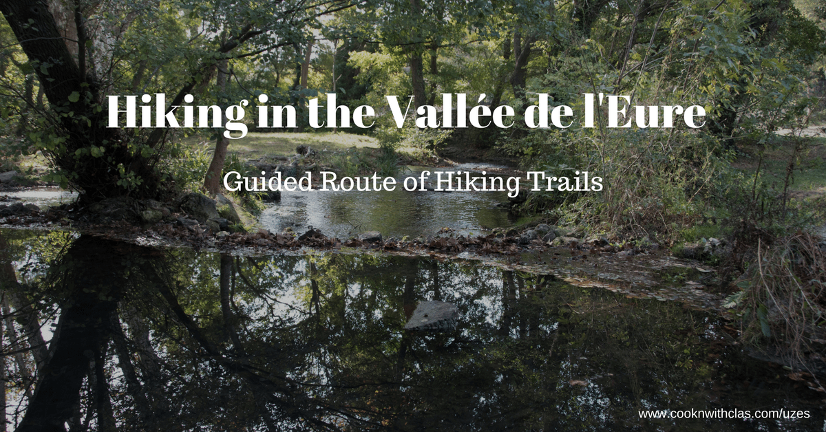
Hiking in the Vallée de L’Eure
Hiking in the Vallée de L’Eure
A visit to Uzès should include a visit to the Vallée de l’Eure. Whether you head down there for a short picnic or decide to go for a run or a hike, this little gem is a local haven for escaping the Summer heat and was once a major source of water not dating back to Roman times.
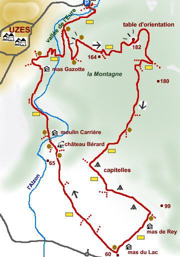
11 km 3.5 hours elevation: 180 m Markers: Yellow Difficulty: Easy
Translated from original hiking route proposed by Cevennes en randonnée
Departure from the parking of the Eure valley (by the D 982 1km after Uzes):
Follow the course of the river and pass the bridge of the old mill, continue on the left bank.
Take the path that goes up on the left in the direction of “La Table d’Orientation” (viewpoint), at the post “Montagnette” (offers a very nice view of Uzès) follow the direction “La Table d’Orientation” on the yellow trail markers which tell you where your headed and how far (in kilometers, of course).
After a slight turn and a climb, follow a small path on the left, indicated by the yellow marker, which leads to the orientation table (catch a beautiful view of the surroundings).
Continue along the same trail (yellow marker), to reach a road, follow it to the right and then quickly leave it on the left (yellow marker).
The path passes in front of a new post “la Montagnette” and just after following the path which
goes down on the right (yellow mark). The path runs along property walls and joins an open junction (capitelle to visit). Follow the new road on the left (direction “mas de Rey”), and after about 1 km at the post “mas de Rey” follow on the right the direction “mas des Violettes”.
At the post “mas des Violettes” follow the direction “Chateau Bérard”, the road passes between many villas, and then follow on the left the path the “chemin Chênes Verts (Green Oaks)” (yellow mark). This path then joins the Chateau Bérard then the moulin de Carrière (Carrière mill).
At the mill, in front of the post follow the direction “Uzes par Gisfort (Uzès by way of Gisfort)”, the trail climbs quickly and goes on a ledge over the Alzon.
At the post, marked ‘Gisfort’ follow the direction “Andrè Gide” and at the post “Andrè Gide” the direction “moulin Tournal”. The path back down to the river and a bridge joins the ruins of the mill Tournal and from there to reach the parking lot once again.
For another walk that is longer (4 hours 50 minutes), try here.
Happy hiking!
Map courtesy of Cevennes en Randonnée
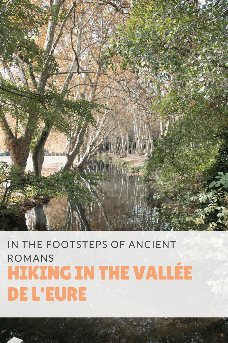
Pin this Post:
Lovers of food and travel, join us for a culinary exploration of French cuisine in Uzès with our Let’s Eat Uzès culinary holiday. Chef created with you in mind. A wonderful way to sharpen your skills and deepen your love for French cuisine. Join us!